
01Areas we cover
In Haringey and Camden
Highgate: period house drawings for two boroughs
Stand on Highgate High Street and the council changes under your feet. Each side has its own conservation area, its own appraisal and its own list of Article 4 directions, so the postal address does not tell you who will read your drawings. We settle that before we quote.
Fixed quote after a free constraints check
- MCIAT chartered architectural technologists
- £2m professional indemnity insurance
- LABC Partnered
- ICO registered
02The record
Highgate on the record
| Measure | Value | Period | Source |
|---|---|---|---|
| Conservation area | Highgate | designated 1967-12-21 | haringey.gov.uk |
| Local fact | Haringey designated Highgate on 21 December 1967, the first of its conservation areas. | No period | haringey.gov.uk |
| Local fact | Camden's Highgate Conservation Area was designated in 1968 and extended in 1978 and 1992; its appraisal and management strategy was adopted in October 2007. | No period | camden.gov.uk |
| Local fact | The village core has 18th- and 19th-century small-scale terraces and traditional shopfronts on late-medieval burgage plots, with Pond Square, on the Camden side, at its heart. | No period | minutes.haringey.gov.uk |
| Local planning consideration | Highgate village is divided between Haringey and Camden, and each council has its own Highgate Conservation Area; Haringey's southern boundary runs along the middle of Highgate High Street. | No period | minutes.haringey.gov.uk |
| Conservation areas | 33 named conservation areas published by the council | No period | planning.data.gov.uk |
| Article 4 directions | 25 Article 4 directions published by the council | No period | planning.data.gov.uk |
| Conservation areas | 40 named conservation areas published by the council | No period | planning.data.gov.uk |
| Listed building consents granted (PS2) | 86.5 % granted | 2025 Q2 to 2026 Q1 (1 Apr 2025 to 31 Mar 2026) | assets.publishing.service.gov.uk |
A blank value means the figure has not been published, not that there are none. Check your own address with the council.
- Highgate: designated 21 December 1967
03The drawing
Constraints check: Haringey
What we check first on any address in Haringey. Counts are for the whole council area.
- A Conservation areas
- 33 named conservation areas published by the council
- B Article 4 directions
- 25 Article 4 directions published by the council
- C Listed building entries
- 289 list entries (Historic England, within the LPA boundary)
- D Heritage at Risk entries
- 21 Heritage at Risk Register entries within the LPA boundary (Historic England)
04The brief
One village, two councils
Highgate village is divided between Haringey and Camden, and each council has its own Highgate Conservation Area; Haringey's southern boundary runs along the middle of Highgate High Street. Camden's Highgate appraisal notes that Haringey's Highgate Conservation Area covers the area east and north of the High Street.
Your side of the High Street decides who the officer is. Haringey publishes 33 conservation areas and 25 Article 4 directions; Camden publishes 40 conservation areas and 21 Article 4 directions.
05The detail
The village core around Pond Square
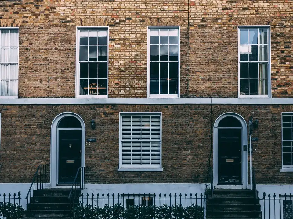
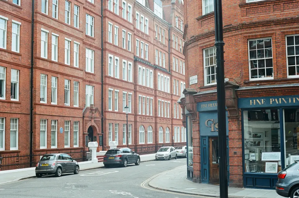
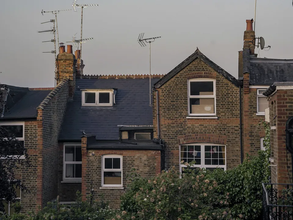
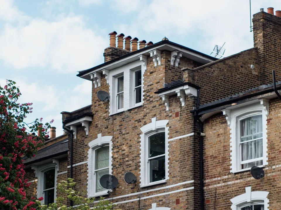
The village core has 18th- and 19th-century small-scale terraces and traditional shopfronts on late-medieval burgage plots, with Pond Square, on the Camden side, at its heart. A visible roof or window change is judged against a street at that small scale.
Alterations to a house in the core are read against the historic plot pattern as much as the building. We draw the plot, the neighbours' eaves and the street frontage on one sheet.
Two designation histories
Haringey designated Highgate on 21 December 1967, the first of its conservation areas. Haringey's appraisal records boundary extensions on 27 September 1990 and 29 November 1994 (part of Stanhope Road).
Camden's Highgate Conservation Area was designated in 1968 and extended in 1978 and 1992; its appraisal and management strategy was adopted in October 2007. Both appraisals are the documents the officer will cite, so we cite the one for your side when we explain the design.
Heritage routes on either side of the line
Haringey records 289 list entries, with 52 listed building consent decisions in its latest year, 86.5% of them granted. A listed house on the Haringey side follows listed building consent drawings in Haringey; on the Camden side, listed building consent drawings in Camden.
Roof changes follow the same split, with mansard roof drawings in Haringey for one side and mansard roof drawings in Camden for the other. Other north London districts are on our Hampstead and Muswell Hill pages.
06The papers
What the drawings rest on
 Party wall services
07Correspondence
Questions
Which council is my Highgate house in?
Highgate village is split between Haringey and Camden, and Haringey's southern boundary runs along the middle of the High Street. Send us the address and we confirm the council, the conservation area and any Article 4 direction before quoting.
Do the two Highgate conservation areas have different rules?
Each council has its own appraisal and its own directions, so yes. We draw to the appraisal for your side and name it in the covering letter.
Which council handles listed building consent for my side of the High Street?
The council that owns your side of the line, which is why we confirm the boundary first. A house on the Camden side goes to Camden, and one east or north of the High Street goes to Haringey. The consent drawings are prepared for that officer and cite that council's appraisal.
Does Pond Square fall under Camden or Haringey?
The village core has 18th- and 19th-century small-scale terraces and traditional shopfronts on late-medieval burgage plots, with Pond Square, on the Camden side, at its heart. That puts the square on the Camden side, and a house facing it is read against Camden's Highgate appraisal.
86.5%
granted
Listed building consents granted (PS2), Haringey, 2025 Q2 to 2026 Q1 (1 Apr 2025 to 31 Mar 2026). Source: assets.publishing.service.gov.uk
08Further reading
Drawings in Highgate
09Sources
Sources and dates
- haringey.gov.uk, retrieved
- camden.gov.uk, retrieved
- minutes.haringey.gov.uk, retrieved
- planning.data.gov.uk, retrieved
- planning.data.gov.uk, retrieved
- planning.data.gov.uk, retrieved
- assets.publishing.service.gov.uk, retrieved
- planning.data.gov.uk, retrieved
- planning.data.gov.uk, retrieved
- planning.data.gov.uk, retrieved
Licences
- Contains public sector information licensed under the Open Government Licence v3.0.
- Contains OS data © Crown copyright and database right 2026.
- Contains Historic England data © Historic England 2026. Contains Ordnance Survey data © Crown copyright and database right 2026.
- © OpenStreetMap contributors, available under the Open Database Licence (ODbL).
Send us the address of your house.
We look up the conservation area, listing and Article 4 position, then reply with a fixed fee. A message before 3pm is answered the same working day.