
01Areas we cover
Totteridge: drawings for conservation area and Green Belt homes
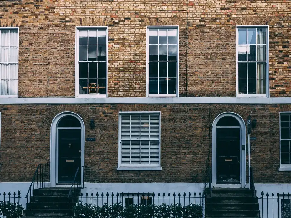
Totteridge layers a conservation area over land that is also recorded as Green Belt, and its appraisal cares about hedges, walls, sash windows and clay or slate roofs. We prepare planning, listed building and Building Regulations drawings that address both layers, after a free constraints check.
Fixed quote after a free constraints check
- MCIAT chartered architectural technologists
- £2m professional indemnity insurance
- LABC Partnered
- ICO registered
02The record
Totteridge on the record
| Measure | Value | Period | Source |
|---|---|---|---|
| Conservation area | Totteridge | designated 1968-12-20 | planning.data.gov.uk |
| Local fact | Totteridge is Barnet's conservation area CA12 in the planning.data.gov.uk conservation-area dataset. | No period | planning.data.gov.uk |
| Local planning consideration | planning.data.gov.uk records the Totteridge conservation area as intersecting Barnet's Green Belt. | No period | planning.data.gov.uk |
| Local planning consideration | planning.data.gov.uk records Article 4 and Article 4(2) direction areas made for the Totteridge conservation area (Article 4 Areas 1 to 3 and Article 4(2) Areas 1 and 2). | No period | planning.data.gov.uk |
| Local fact | Article 4 for Totteridge CA, Areas 1-3 (ref A4D11) | made 1972-07-05 | planning.data.gov.uk |
| Local fact | Article 4(2) for Totteridge CA, Areas 1-2 (ref A4D12) | made 2008-05-06 | planning.data.gov.uk |
| Conservation areas | 16 named conservation areas published by the council | No period | planning.data.gov.uk |
| Green Belt share of the council area | 28 % of council area covered by green-belt polygons | No period | planning.data.gov.uk |
| Tree preservation orders | 718 tree preservation orders published by the council | No period | planning.data.gov.uk |
| Listed building consents granted (PS2) | 93.4 % granted | 2025 Q2 to 2026 Q1 (1 Apr 2025 to 31 Mar 2026) | assets.publishing.service.gov.uk |
A blank value means the figure has not been published, not that there are none. Check your own address with the council.
- Totteridge: designated 20 December 1968
03The drawing
Constraints check: Barnet
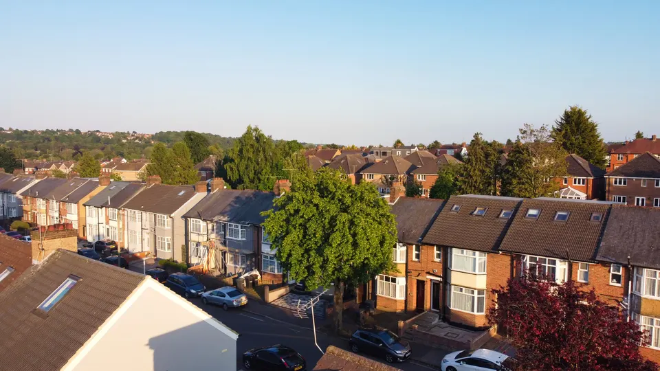
What we check first on any address in Barnet. Counts are for the whole council area.
- A Conservation areas
- 16 named conservation areas published by the council
- B Article 4 directions
- 15 Article 4 directions published by the council
- C Listed building entries
- 651 list entries (Historic England, within the LPA boundary)
- D Heritage at Risk entries
- 9 Heritage at Risk Register entries within the LPA boundary (Historic England)
04The brief
Two designations on one street
Totteridge is Barnet's conservation area CA12 in the planning.data.gov.uk conservation-area dataset. planning.data.gov.uk records the Totteridge conservation area as intersecting Barnet's Green Belt.
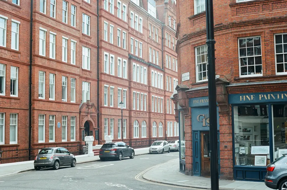
Barnet publishes 16 conservation areas, and Green Belt polygons cover 28% of its area. When both apply to one house, we check each before drawing, because each can change what is acceptable.
05The detail
Two kinds of Article 4 direction
planning.data.gov.uk records Article 4 and Article 4(2) direction areas made for the Totteridge conservation area (Article 4 Areas 1 to 3 and Article 4(2) Areas 1 and 2). planning.data.gov.uk also records Article 4 agricultural land restriction areas intersecting the Totteridge conservation area.
The register shows more than one direction for the area, each with its own mapped areas, so the wording that applies to your house depends on its location. We read the direction for the exact address and quote it in the covering letter.
Boundaries, windows and roofs
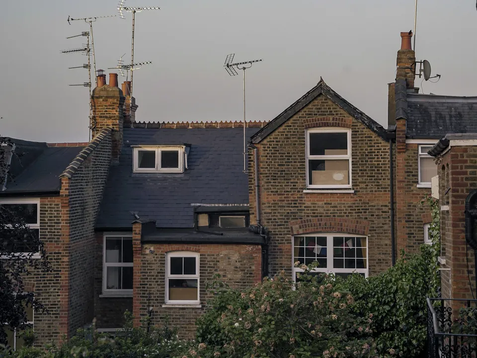
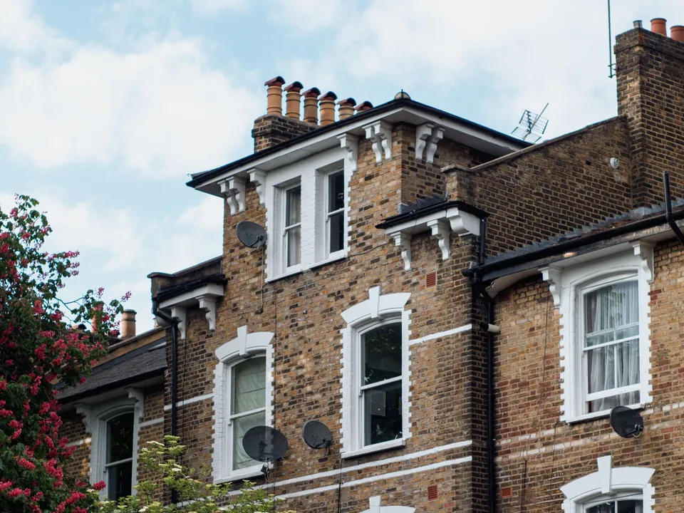
The appraisal is specific about the details it expects to see kept. New or replacement boundary features must respect the informal green character; big houses have high walls and hedges, small ones low walls. Predominant windows are timber vertical sliding sashes with recessed openings; mixed pane sizes are typical.
Roofs are hand-made clay tile or Welsh slate; Welsh slate (about 22 degrees) dominates mid-19th century and later buildings. A re-roof or replaced windows are therefore drawn in matching materials, with the existing pattern shown beside the proposal.
Hedges, mature trees and the listed houses
Barnet holds 718 tree preservation orders, and the appraisal expects high walls and hedges round the big houses. We plot hedges and trees on the survey before an extension is sited. The borough also lists 651 entries, and in its latest year it decided 76 listed building consent applications and granted 93.4% of them.
Those figures record what Barnet has decided before and do not forecast your application. A listed house starts with listed building consent drawings. A new roof storey is seldom the answer on a Green Belt villa, and mansard roof drawings shows how we test one first.
06The papers
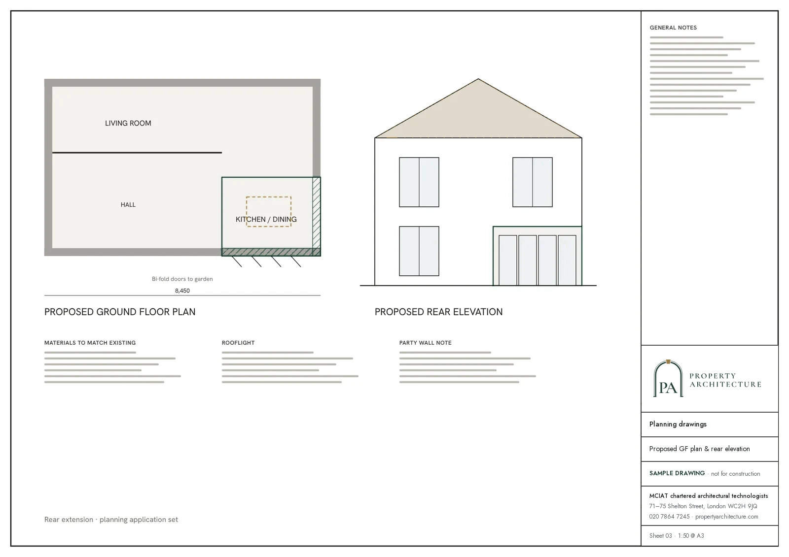
What the drawings rest on
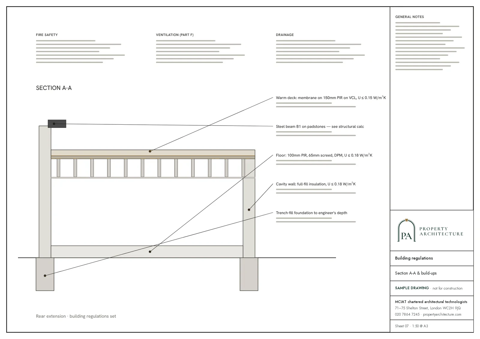
 Party wall services
07Correspondence
Questions
Is my Totteridge house in the conservation area and the Green Belt?
The national planning data records the Totteridge conservation area as meeting Barnet's Green Belt, but your address may sit in one, both or neither. Send it to us and we check both, plus Article 4 directions and trees, before quoting.
Why do two kinds of Article 4 direction matter to a Totteridge extension?
planning.data.gov.uk records Article 4 and Article 4(2) direction areas made for the Totteridge conservation area (Article 4 Areas 1 to 3 and Article 4(2) Areas 1 and 2). Each covers its own mapped areas, so your house may sit under one, both or neither. We read each against the address and quote the wording in the covering letter.
What does a listed house in Totteridge need beyond planning drawings?
Listed building consent, with drawings that record each original feature and show what the work touches. If the house also lies in the Green Belt, the planning application answers that separately, so we prepare the two sets to agree. The route is on the listed building consent hub.
How are fees set for a Green Belt extension in a Totteridge conservation area?
A roof storey is seldom the answer here, so the usual job is an extension, and its quote covers the Green Belt test and the appraisal together. The fee is fixed, VAT included, and agreed after the free constraints check. Basement drawings begin at £1,995.
28%
of council area covered by green-belt polygons
Green Belt share of the council area, Barnet. Source: planning.data.gov.uk
08Further reading
Drawings in Totteridge
09Sources
Sources and dates
- planning.data.gov.uk, retrieved
- planning.data.gov.uk, retrieved
- planning.data.gov.uk, retrieved
- planning.data.gov.uk, retrieved
- planning.data.gov.uk, retrieved
- planning.data.gov.uk, retrieved
- planning.data.gov.uk, retrieved
- assets.publishing.service.gov.uk, retrieved
- open.barnet.gov.uk, retrieved
- planning.data.gov.uk, retrieved
- planning.data.gov.uk, retrieved
- planning.data.gov.uk, retrieved
Licences
- Contains public sector information licensed under the Open Government Licence v3.0.
- Contains OS data © Crown copyright and database right 2026.
- Contains Historic England data © Historic England 2026. Contains Ordnance Survey data © Crown copyright and database right 2026.
- © OpenStreetMap contributors, available under the Open Database Licence (ODbL).
Send us the address of your house.
We look up the conservation area, listing and Article 4 position, then reply with a fixed fee. A message before 3pm is answered the same working day.