
01Areas we cover
Drawings for period houses in Cobham, Surrey
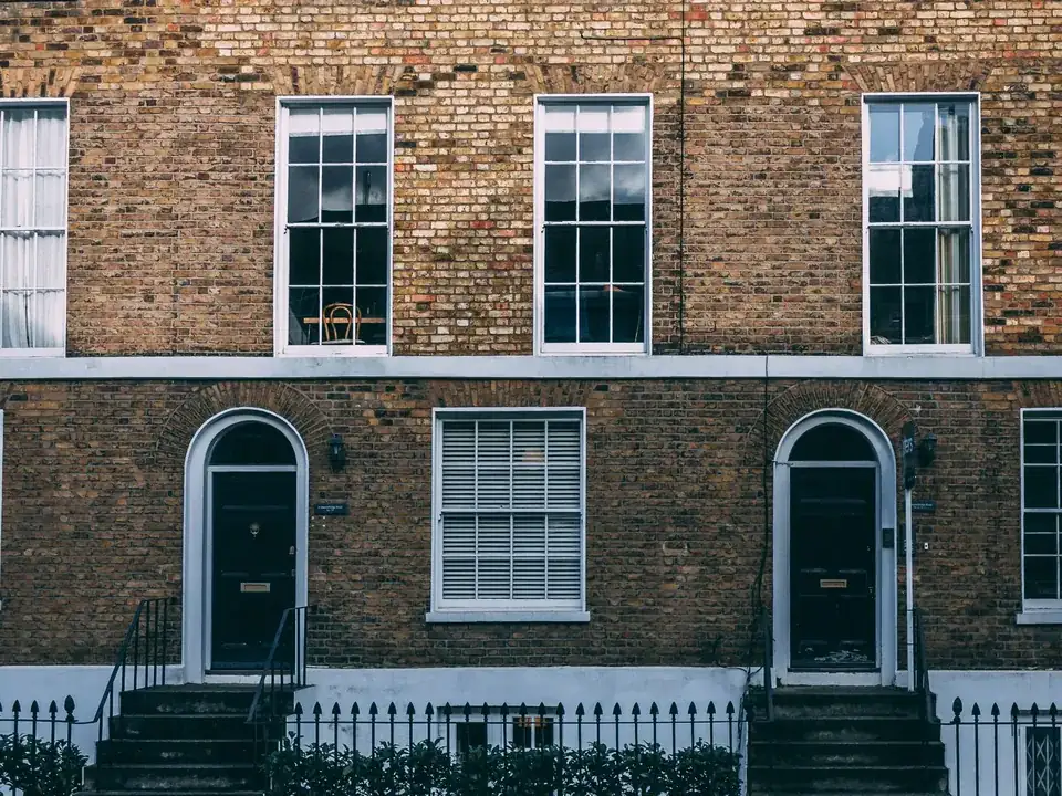
A Cobham house can sit under a conservation area, beside a river with flood zones and inside the Green Belt at once. We prepare planning, listed building and Building Regulations drawings that read those layers first, starting from a constraints check that costs you nothing.
Fixed quote after a free constraints check
- MCIAT chartered architectural technologists
- £2m professional indemnity insurance
- LABC Partnered
- ICO registered
02The record
Cobham on the record
| Measure | Value | Period | Source |
|---|---|---|---|
| Conservation area | Cobham | No period | elmbridge.gov.uk |
| Local fact | Cobham Conservation Area was designated on 31 July 1973 by Surrey County Council and is based on the historic core of Church Cobham and the River Mole, including Mill Road, River Hill and Church Street. | No period | elmbridge.gov.uk |
| Local fact | The Tilt Conservation Area was designated on 31 July 1979 and extended on 10 March 2015. | No period | elmbridge.gov.uk |
| Local planning consideration | planning.data.gov.uk records the Cobham, Cobham (Plough Corner) and The Tilt conservation areas as intersecting the Elmbridge Green Belt. | No period | planning.data.gov.uk |
| Local planning consideration | planning.data.gov.uk records parts of the Cobham conservation area, which follows the River Mole, as intersecting flood risk zones. | No period | planning.data.gov.uk |
| Conservation areas | 25 named conservation areas published by the council | No period | planning.data.gov.uk |
| Listed building entries | 512 list entries (Historic England, within the LPA boundary) | No period | planning.data.gov.uk |
| Green Belt share of the council area | 58 % of council area covered by green-belt polygons | No period | planning.data.gov.uk |
| Householder applications granted | 81 % | 1 July 2025 - 30 June 2026 | assets.publishing.service.gov.uk |
A blank value means the figure has not been published, not that there are none. Check your own address with the council.
- Cobham: designation date not recorded
- Cobham Plough Corner: designation date not recorded
- Cobham The Tilt: designation date not recorded
03The drawing
Constraints check: Elmbridge
What we check first on any address in Elmbridge. Counts are for the whole council area.
- A Conservation areas
- 25 named conservation areas published by the council
- B Listed building entries
- 512 list entries (Historic England, within the LPA boundary)
- C Heritage at Risk entries
- 4 Heritage at Risk Register entries within the LPA boundary (Historic England)
04The brief
Three conservation areas in one village
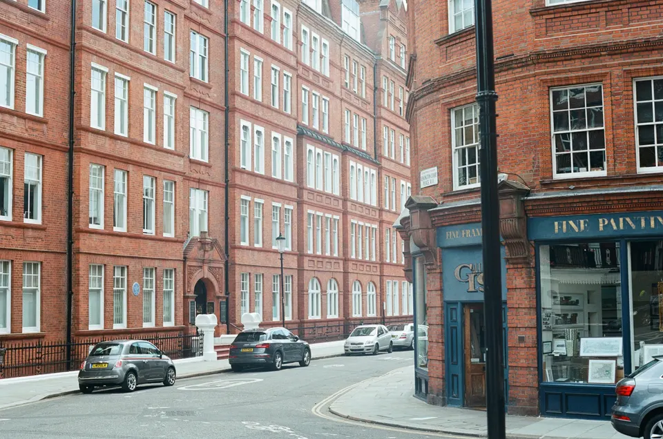
Cobham Conservation Area was designated on 31 July 1973 by Surrey County Council and is based on the historic core of Church Cobham and the River Mole, including Mill Road, River Hill and Church Street. A street that looks like one place on a walk can be covered by several designations, so we check your exact address before choosing a route.
Elmbridge also names Cobham Plough Corner and Cobham The Tilt. Cobham (Plough Corner) Conservation Area was designated on 28 November 1990. The Tilt Conservation Area was designated on 31 July 1979 and extended on 10 March 2015.
A Character Appraisal and Management Proposals document for Cobham was endorsed by planning committee on 11 June 2019. That document is what the officer will hold your drawings against, so we draw to it rather than around it.
05The detail
The River Mole, flood zones and the Green Belt
planning.data.gov.uk records parts of the Cobham conservation area, which follows the River Mole, as intersecting flood risk zones. We read the flood zone for your plot at the constraints check, before the design is fixed.
planning.data.gov.uk records the Cobham, Cobham (Plough Corner) and The Tilt conservation areas as intersecting the Elmbridge Green Belt. Green Belt covers 58% of Elmbridge, so we confirm whether your plot is affected before we draw.
Listed houses and older buildings in Elmbridge
Historic England holds 512 list entries in Elmbridge: 8 at Grade I, 24 at Grade II* and 480 at Grade II. If yours is one of them, listed building consent runs beside planning, and we prepare the drawings for both.
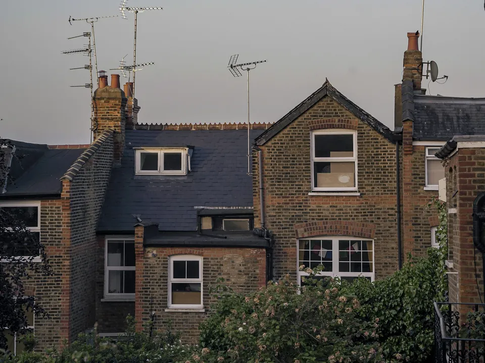
Its at-risk list carries 4 Elmbridge entries. Roof work on an older house is read closely, so see our mansard roof drawings page for how we draw a roof change in a sensitive setting.
How Elmbridge has decided householder cases
Over its most recent four published quarters Elmbridge decided 900 householder applications and granted 81% of them. Those are the council's past decisions, not a forecast for your house.
Weybridge has its own set of designations: see architectural drawings in Weybridge. We draw each house for the rules on its own street.
06The papers
What the drawings rest on
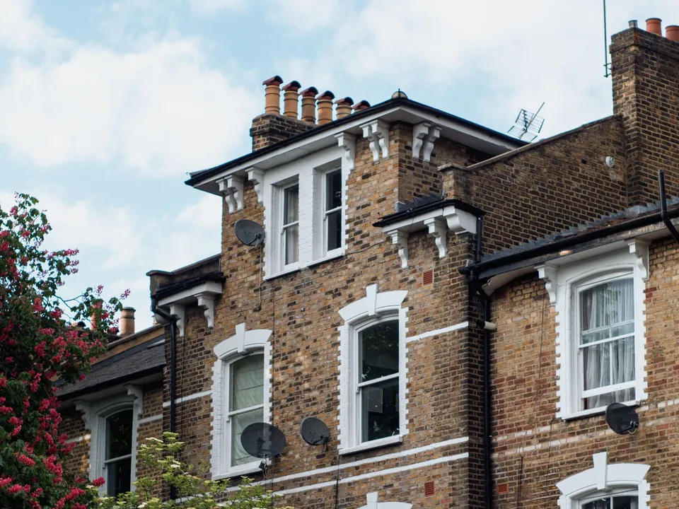 Flat conversions & change of use
07Correspondence
Questions
Is my Cobham house in a conservation area?
Possibly in one of three: Cobham, Cobham Plough Corner or Cobham The Tilt. We check the address against all of them, plus listed status and flood zone, in the free constraints check, then send a fixed quote.
Does flood risk affect an extension near the River Mole?
It can. planning.data.gov.uk records parts of the Cobham conservation area, which follows the River Mole, as intersecting flood risk zones. Send us the address and we check the flood zone before any design work.
Do you draw for listed houses in Cobham?
Yes. Listed building consent is a separate consent from planning, and we prepare the drawings for it at a fixed quote after the free constraints check.
How are your fees set for a Cobham house?
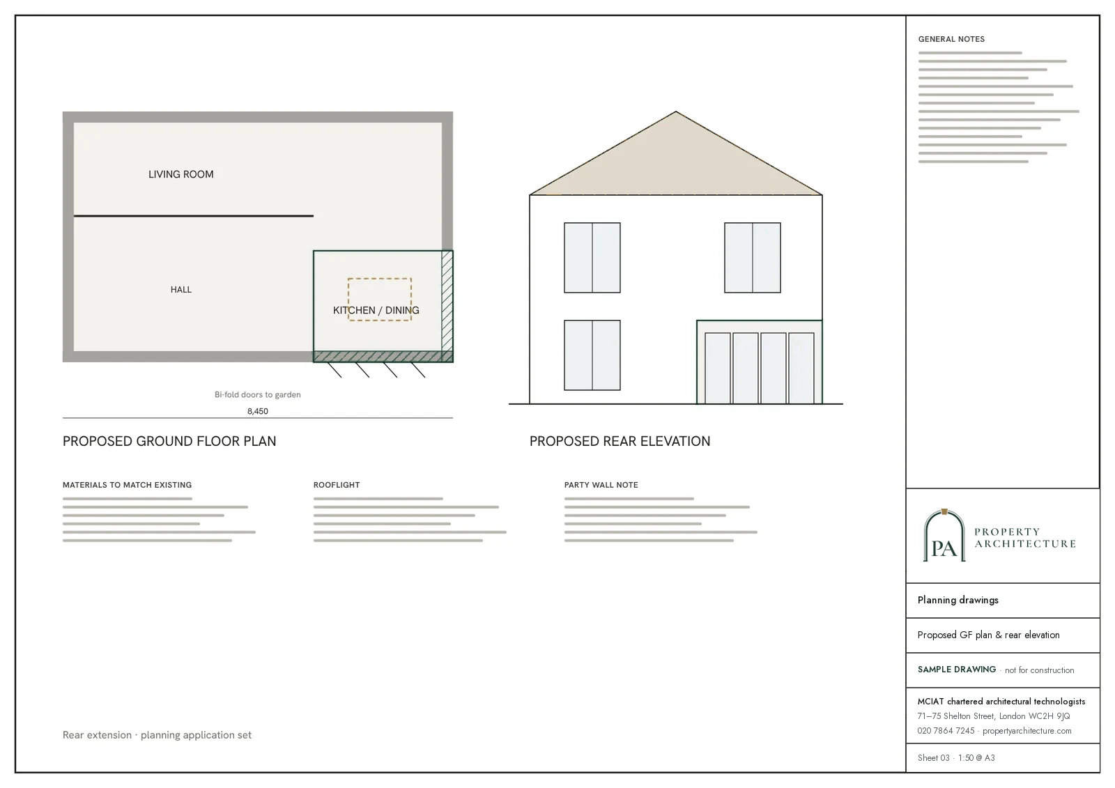
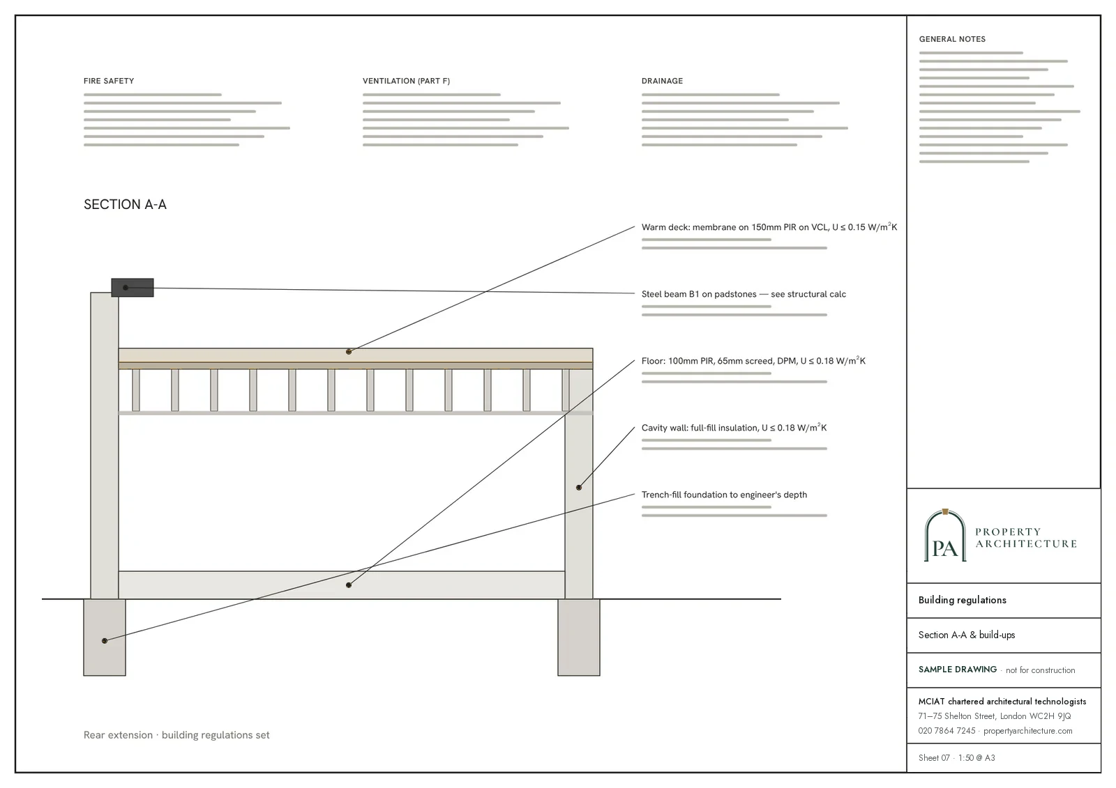
Fees are fixed and published, VAT included, and council fees are paid separately. A mansard starts at £845 and a rear extension at £695. Listed building consent is a fixed quote after the free check.
81%
Householder applications granted, Elmbridge, 1 July 2025 - 30 June 2026. Source: assets.publishing.service.gov.uk
08Further reading
Drawings in Cobham
09Sources
Sources and dates
- elmbridge.gov.uk, retrieved
- elmbridge.gov.uk, retrieved
- planning.data.gov.uk, retrieved
- planning.data.gov.uk, retrieved
- planning.data.gov.uk, retrieved
- planning.data.gov.uk, retrieved
- planning.data.gov.uk, retrieved
- assets.publishing.service.gov.uk, retrieved
- elmbridge.gov.uk, retrieved
- planning.data.gov.uk, retrieved
Licences
- Contains public sector information licensed under the Open Government Licence v3.0.
- Contains OS data © Crown copyright and database right 2026.
- Contains Historic England data © Historic England 2026. Contains Ordnance Survey data © Crown copyright and database right 2026.
- © OpenStreetMap contributors, available under the Open Database Licence (ODbL).
Send us the address of your house.
We look up the conservation area, listing and Article 4 position, then reply with a fixed fee. A message before 3pm is answered the same working day.