
01Areas we cover
Architectural drawings for Notting Hill's terraces and villas
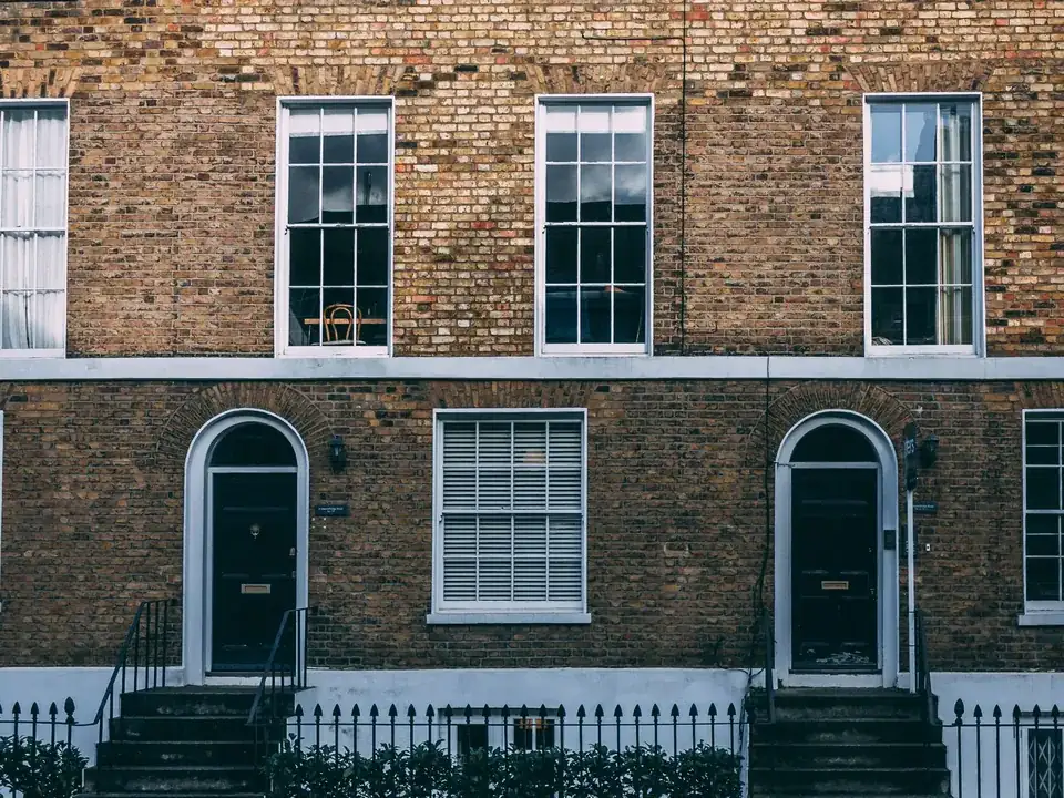
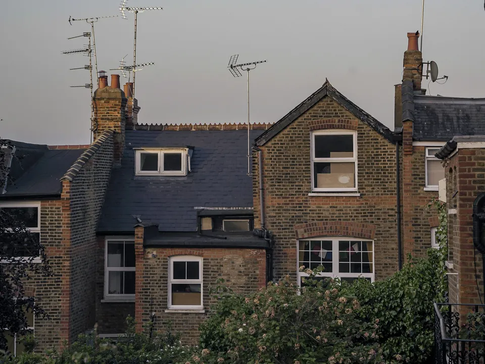
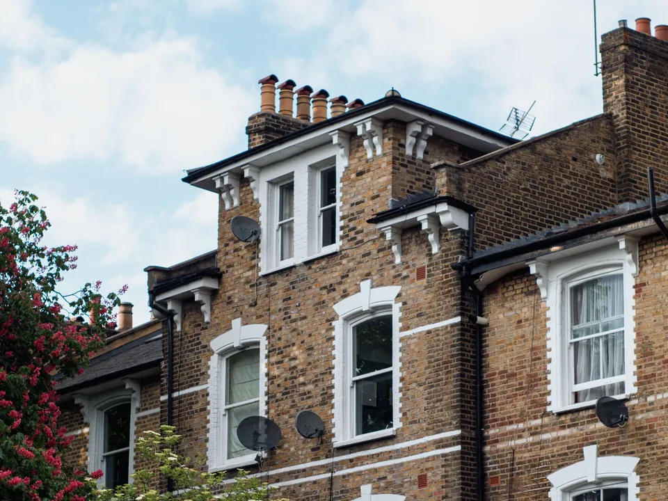
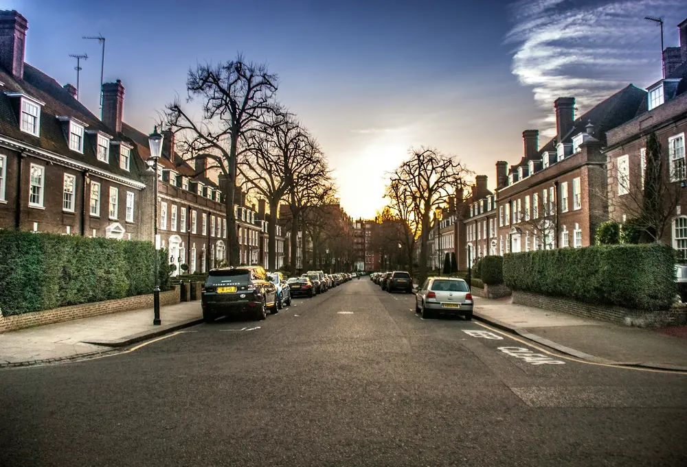
Many of Notting Hill's Ladbroke terraces follow the line of the hill, and their ends were often designed to look like detached villas. That design logic is what the council protects, so we draw alterations to a Notting Hill house to keep the parapet line and the villa ends intact.
Fixed quote after a free constraints check
- MCIAT chartered architectural technologists
- £2m professional indemnity insurance
- LABC Partnered
- ICO registered
02The record
Notting Hill on the record
| Measure | Value | Period | Source |
|---|---|---|---|
| Conservation area | Ladbroke | designated 1969-01-01 | rbkc.gov.uk |
| Local fact | The Ladbroke Conservation Area was designated in 1969, one of the Royal Borough's earliest, and its appraisal was adopted on 15 October 2015. | No period | planningconsult.rbkc.gov.uk |
| Local fact | Many Ladbroke terraces follow the contours of the hill so that parapets stay continuous, and terrace ends were often designed to look like symmetrical detached villas. | No period | planningconsult.rbkc.gov.uk |
| Local planning consideration | An Article 4 direction covering the whole Royal Borough of Kensington and Chelsea removes permitted development rights for basement extensions to single dwelling houses; it came into force on 28 April 2016. | No period | rbkc.gov.uk |
| Local planning consideration | RBKC's New Local Plan Review (July 2024), Policy CD11, requires basements not to exceed 50% of each garden or open part of the site and not to comprise more than one storey, with exceptions for large sites. | No period | rbkc.gov.uk |
| Local planning consideration | RBKC's register of conservation-area Article 4 directions includes Ladbroke Grove, Ladbroke Road, Ladbroke Gardens, Ladbroke Square and Kensington Park Gardens (directions of 1996 and 1998) and Pembridge Place (1999). | No period | rbkc.gov.uk |
| Local fact | Ladbroke Conservation Area Appraisal (adopted 15 October 2015) | adopted | planningconsult.rbkc.gov.uk |
| Conservation areas | 39 named conservation areas published by the council | No period | planning.data.gov.uk |
| Article 4 directions | 84 Article 4 directions published by the council | No period | planning.data.gov.uk |
A blank value means the figure has not been published, not that there are none. Check your own address with the council.
- Ladbroke: designated 1 January 1969
- Pembridge: designated 1 January 1969
- Colville: designated 1 January 2004
03The drawing
Constraints check: Kensington and Chelsea
What we check first on any address in Kensington and Chelsea. Counts are for the whole council area.
- A Conservation areas
- 39 named conservation areas published by the council
- B Article 4 directions
- 84 Article 4 directions published by the council
- C Listed building entries
- 1,350 list entries (Historic England, within the LPA boundary)
- D Heritage at Risk entries
- 43 Heritage at Risk Register entries within the LPA boundary (Historic England)
04The brief
Terraces that follow the hill
Many Ladbroke terraces follow the contours of the hill so that parapets stay continuous, and terrace ends were often designed to look like symmetrical detached villas. A roof alteration that interrupts that line is read as damage to the group, not only to one house.
The Ladbroke Conservation Area was designated in 1969, one of the Royal Borough's earliest, and its appraisal was adopted on 15 October 2015. For a house in that area, the Ladbroke appraisal is the document to read first.
05The detail
Ladbroke, Pembridge and Colville
Three conservation areas reach into the district: Ladbroke, Pembridge and Colville. The Pembridge Conservation Area is a mainly residential area of late Georgian and Victorian streets between Notting Hill Gate, Westbourne Grove and Pembridge Road; its appraisal was adopted on 30 January 2017.
The Colville Conservation Area was designated on 7 December 2004. Each area has an adopted appraisal, for example the Colville Conservation Area Appraisal (adopted 17 February 2015). The Royal Borough lists 39 conservation areas in all, and Kensington and Chelsea have their own pages.
Article 4 directions, street by street
RBKC's register of conservation-area Article 4 directions includes Ladbroke Grove, Ladbroke Road, Ladbroke Gardens, Ladbroke Square and Kensington Park Gardens (directions of 1996 and 1998) and Pembridge Place (1999). Notting Hill is therefore a place where a neighbour's answer about windows or boundary walls may not be yours.
The borough publishes 84 Article 4 directions, and we read the one that covers your street before any elevation is drawn.
Roofs, railings and cornices
On roofs, the Ladbroke appraisal lists a clear negative. Poorly designed roof additions and additions that harm an established roofline are listed as negative features. Our page on mansard roof drawings shows how we test a terrace for room to add a storey.
Detail counts as much as massing. Loss of original features such as cornices and joinery is described as harming the uniformity of groups. Some railings have been replaced with inappropriate designs and villa pairs are sometimes treated inconsistently. We therefore survey the cornices, railings and joinery of a house before proposing any change to them.
Basements in Notting Hill gardens
An Article 4 direction covering the whole Royal Borough of Kensington and Chelsea removes permitted development rights for basement extensions to single dwelling houses; it came into force on 28 April 2016. RBKC's New Local Plan Review (July 2024), Policy CD11, requires basements not to exceed 50% of each garden or open part of the site and not to comprise more than one storey, with exceptions for large sites.
Both limits shape a scheme before the first sketch, which is why basement conversion drawings starts with the garden calculation. If the house is listed, the neighbouring Holland Park guide and the Royal Borough's listed building consent drawings page cover the extra consent.
06The papers
What the drawings rest on
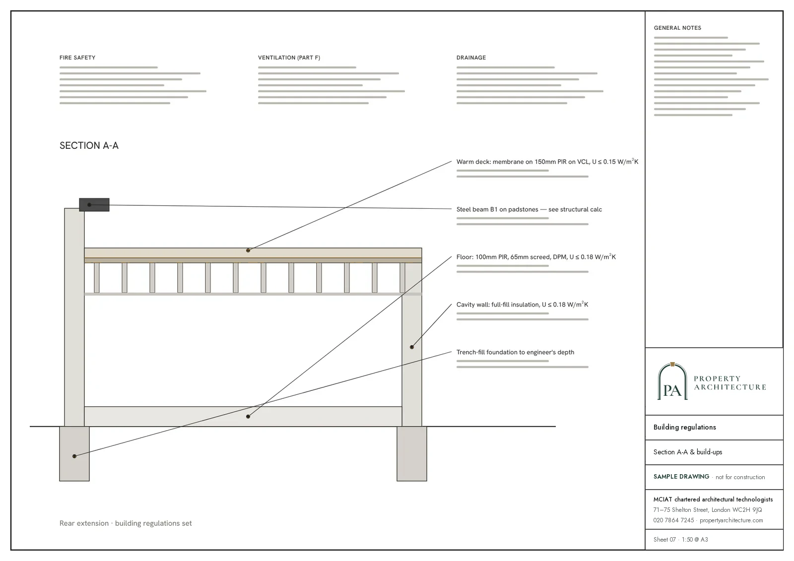
 Party wall services
07Correspondence
Questions
Which Notting Hill appraisal do I read: Ladbroke, Pembridge or Colville?
Each area has its own: the Ladbroke Conservation Area Appraisal (adopted 15 October 2015), the Pembridge Conservation Area Appraisal (adopted 30 January 2017) and the Colville Conservation Area Appraisal (adopted 17 February 2015). Some streets, such as Elgin Crescent and Chepstow Villas, appear in the Article 4 register under directions that our records do not tie to one named area, so we match your address to the appraisal and to the direction separately.
Can I change the front windows or railings on a Notting Hill terrace?
The register of Article 4 directions in the Royal Borough includes a number of Ladbroke streets and Pembridge Place, so the answer depends on your road. The appraisals also describe lost cornices, joinery and railings as harm to the group, so repair in kind is the safer route.
Can I dig a basement under a Notting Hill garden?
Planning permission is needed, because a borough-wide direction removes the permitted development right to extend a house downwards. The local plan then limits a basement to half of each garden and a single storey, with exceptions for large sites.
What should I budget for drawings on a Notting Hill terrace?
A basement quote includes the half-garden calculation, because the borough-wide direction makes every basement a full application: basement drawings begin at £1,995, VAT included. Roof work is the harder case on a Ladbroke terrace, and where the appraisal leaves room for it, mansard drawings begin at £845. A listed house is quoted after the free check.
39
named conservation areas published by the council
Conservation areas, Kensington and Chelsea. Source: planning.data.gov.uk
08Further reading
Drawings in Notting Hill
09Sources
Sources and dates
- rbkc.gov.uk, retrieved
- planningconsult.rbkc.gov.uk, retrieved
- rbkc.gov.uk, retrieved
- rbkc.gov.uk, retrieved
- rbkc.gov.uk, retrieved
- planning.data.gov.uk, retrieved
- planning.data.gov.uk, retrieved
- planningconsult.rbkc.gov.uk, retrieved
- planningconsult.rbkc.gov.uk, retrieved
- planning.data.gov.uk, retrieved
- planning.data.gov.uk, retrieved
Licences
- Contains public sector information licensed under the Open Government Licence v3.0.
- Contains OS data © Crown copyright and database right 2026.
- Contains Historic England data © Historic England 2026. Contains Ordnance Survey data © Crown copyright and database right 2026.
- © OpenStreetMap contributors, available under the Open Database Licence (ODbL).
Send us the address of your house.
We look up the conservation area, listing and Article 4 position, then reply with a fixed fee. A message before 3pm is answered the same working day.