
01Areas we cover
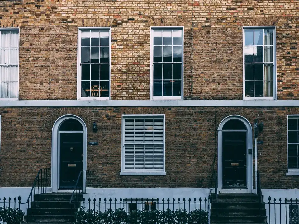
Architectural drawings for Marylebone's terraces and mews
Marylebone is governed by four conservation area audits, each with its own reading of roofs, railings and mews windows. We match your street to the right audit, draw to its tests, and prepare planning, listed building consent or Building Regulations drawings from a fixed quote.
Fixed quote after a free constraints check
- MCIAT chartered architectural technologists
- £2m professional indemnity insurance
- LABC Partnered
- ICO registered
02The record
Marylebone on the record
| Measure | Value | Period | Source |
|---|---|---|---|
| Conservation area | Harley Street | designated 1990-05-14 | westminster.gov.uk |
| Local fact | The Harley Street Conservation Area was designated on 27 June 1968 and extended in 1981, 1990 and 2007; its audit was adopted as a Supplementary Planning Document on 16 June 2008. | No period | westminster.gov.uk |
| Local fact | East Marylebone was designated in 1982 and extended in 1990; Dorset Square was designated in March 1968 and extended in 1978, 1990 and 2008. | No period | westminster.gov.uk |
| Local fact | Harley Street Conservation Area Audit (adopted SPD) | adopted SPD, published 16.06.2008 | westminster.gov.uk |
| Local fact | Upward roof extensions would disrupt the unity of long terraces such as Mansfield Street and are unlikely to be acceptable. | No period | westminster.gov.uk |
| Local fact | Roof extensions are not always acceptable; Policy DES6C lists unimpaired terraces and complete compositions as unsuitable. | No period | westminster.gov.uk |
| Local fact | Policy DES6 says roof extensions are unlikely where buildings are complete compositions or rooflines are exposed to long views. | No period | westminster.gov.uk |
| Local planning consideration | The Marylebone Village Area of Special Archaeological Priority lies largely within the Harley Street Conservation Area around the north end of Marylebone High Street. | No period | westminster.gov.uk |
| Local fact | Harley Street audit: no Article 4 directions | No period | westminster.gov.uk |
| Local fact | Dorset Square audit: no Article 4 directions | No period | westminster.gov.uk |
| Article 4 directions | 10 Article 4 directions published by the council | No period | planning.data.gov.uk |
| Listed building entries | 4,015 list entries (Historic England, within the LPA boundary) | No period | planning.data.gov.uk |
A blank value means the figure has not been published, not that there are none. Check your own address with the council.
- Harley Street: designated 14 May 1990
- Portman Estate: designated 20 November 1990
- East Marylebone: designated 20 November 1990
- Dorset Square: designated 1 January 2023
03The drawing
Constraints check: Westminster
What we check first on any address in Westminster. Counts are for the whole council area.
- A Conservation areas
- 56 named conservation areas published by the council
- B Article 4 directions
- 10 Article 4 directions published by the council
- C Listed building entries
- 4,015 list entries (Historic England, within the LPA boundary)
- D Heritage at Risk entries
- 23 Heritage at Risk Register entries within the LPA boundary (Historic England)
04The brief
Four audits for one district
Four Westminster conservation areas cover the Marylebone streets in this guide: the Harley Street, Portman Estate, East Marylebone and Dorset Square conservation areas, and each has its own appraisal. The Harley Street Conservation Area was designated on 27 June 1968 and extended in 1981, 1990 and 2007; its audit was adopted as a Supplementary Planning Document on 16 June 2008.
East Marylebone was designated in 1982 and extended in 1990; Dorset Square was designated in March 1968 and extended in 1978, 1990 and 2008. Because the dates and extensions differ, the audit that applies to one street may not apply to the next.
05The detail
How each audit treats a roof extension
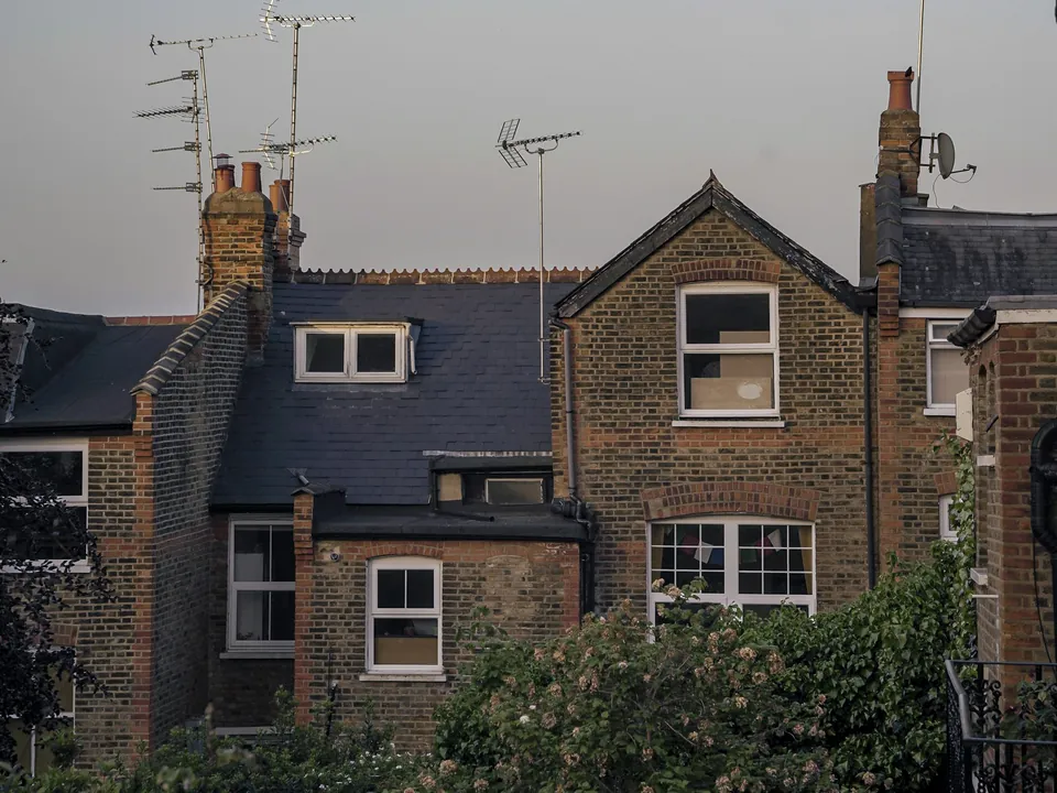
The audits agree on the principle, though each words it differently. Harley Street: Upward roof extensions would disrupt the unity of long terraces such as Mansfield Street and are unlikely to be acceptable. Portman Estate: Roof extensions are not always acceptable; Policy DES6C lists unimpaired terraces and complete compositions as unsuitable.
East Marylebone: Policy DES6 says roof extensions are unlikely where buildings are complete compositions or rooflines are exposed to long views. Dorset Square: On terraces with a consistent roofline, upward extensions would disrupt group unity and are unlikely to be acceptable. The pattern is consistent enough that we plan a mansard here only after we have found a justification in the existing roofline. The route is explained under mansard roof drawings.
Railings, ironwork and mews windows
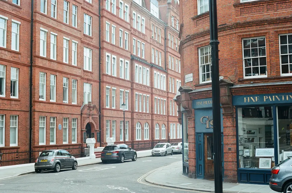
Several audits treat boundary ironwork as part of the architecture. For the Harley Street area the audit says: The extensive original railings and ironwork are a key unifying part of the area's character. For Dorset Square: Railings enclosing the square's terraced housing are a prominent feature and key to its character.
Mews houses get a separate warning. Mews upper-floor windows lost to uPVC or different glazing patterns are noted as harm to mews character. Our elevations therefore record the original glazing pattern before any window is changed.
No Article 4 direction in two audits
The Harley Street audit and the Dorset Square audit each record that they carry no Article 4 directions. That does not leave a house free of control, because the conservation area itself still applies, and Westminster publishes 10 directions across the borough. We check the live register for your address.
Below ground and in the record
Westminster's City Plan 2019-2040 (2026), Policy 50, supports basements only where they extend under no more than 50% of the garden land and are no more than one storey beneath the lowest original floor level, with exceptions for large sites. The Marylebone Village Area of Special Archaeological Priority lies largely within the Harley Street Conservation Area around the north end of Marylebone High Street. Both points arrive early in a basement scheme, which is why our basement conversion drawings page puts the garden calculation first.
Westminster records 4,015 list entries, and our neighbouring guide to Mayfair's conservation area is the closest comparison for a listed Marylebone house.
06The papers
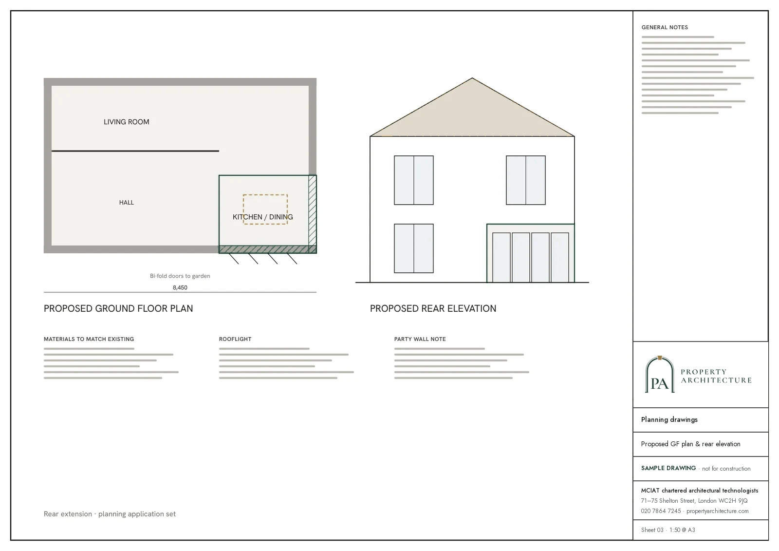
What the drawings rest on
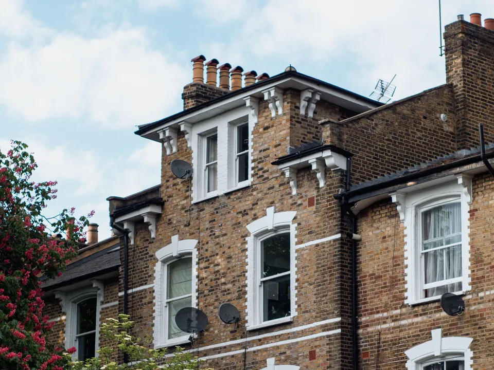 Flat conversions & change of use
07Correspondence
Questions
Which of the four audits governs my street?
The Harley Street, Portman Estate, East Marylebone and Dorset Square audits were adopted at different dates and word their roof and railing tests differently, so the answer changes with the audit. Send the address and we read the one that holds yours.
Does a mews house follow the same rules as a terrace?
It follows a different guide. Westminster's "Mews: a guide to alterations SPG" covers mews, and the Harley Street audit adds: Mews upper-floor windows lost to uPVC or different glazing patterns are noted as harm to mews character. A mews job here begins with a glazing survey.
Two audits record no Article 4 direction. Can I alter the front freely?
Alterations are still judged against the audit, because the conservation area applies with or without a direction. New windows, railings and roof work are read for their effect on the street, and we check the live register before we advise.
What will Marylebone drawings cost if a mansard is unlikely?
A listed house or a mews conversion is the likelier job here, and each is quoted as one fixed sum once the free constraints check has found the route. Basement drawings begin at £1,995, VAT included. Where your roofline does offer an exception, mansard drawings begin at £845.
10
Article 4 directions published by the council
Article 4 directions, Westminster. Source: planning.data.gov.uk
08Further reading
Drawings in Marylebone
09Sources
Sources and dates
- westminster.gov.uk, retrieved
- westminster.gov.uk, retrieved
- westminster.gov.uk, retrieved
- westminster.gov.uk, retrieved
- westminster.gov.uk, retrieved
- westminster.gov.uk, retrieved
- westminster.gov.uk, retrieved
- planning.data.gov.uk, retrieved
- planning.data.gov.uk, retrieved
- westminster.gov.uk, retrieved
- westminster.gov.uk, retrieved
- westminster.gov.uk, retrieved
- planning.data.gov.uk, retrieved
- planning.data.gov.uk, retrieved
Licences
- Contains public sector information licensed under the Open Government Licence v3.0.
- Contains OS data © Crown copyright and database right 2026.
- Contains Historic England data © Historic England 2026. Contains Ordnance Survey data © Crown copyright and database right 2026.
- © OpenStreetMap contributors, available under the Open Database Licence (ODbL).
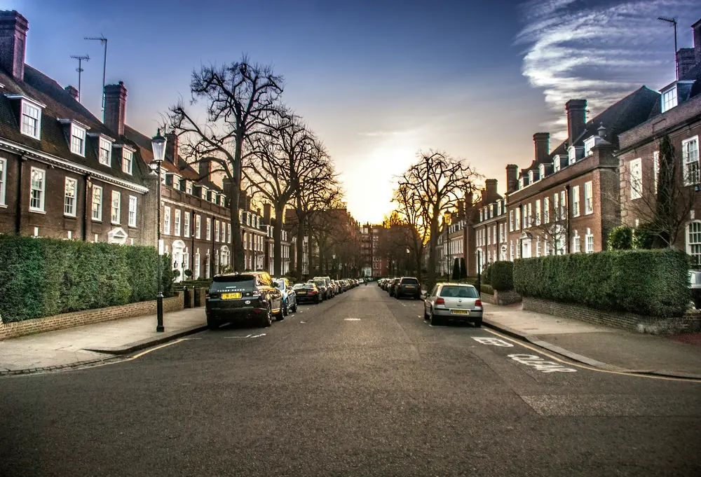
Send us the address of your house.
We look up the conservation area, listing and Article 4 position, then reply with a fixed fee. A message before 3pm is answered the same working day.